
Navigate with confidence using Garmin Navionics+ chart cards from Brushy Creek Marine. Navionics+ combines Garmin’s BlueChart data with Navionics’ extensive lake and coastal mapping database, giving you detailed, accurate charts for freshwater and saltwater navigation on your Garmin chartplotter.
What’s Included with Navionics+
- Detailed Lake Maps — Depth contours, bottom hardness, and fishing-specific data for thousands of freshwater lakes across the US
- Coastal & Offshore Charts — Accurate nautical charts for inshore, nearshore, and offshore saltwater navigation
- Community Edits — Crowd-sourced depth data and chart corrections updated regularly
- SonarChart Live — Create your own custom depth maps in real time using your transducer while you fish
Compatible Garmin Units
Garmin Navionics+ cards are compatible with Garmin ECHOMAP and GPSMAP chartplotter series. Check your unit’s specifications to confirm card slot compatibility before purchasing.
Brushy Creek Marine is an authorized Garmin dealer. Contact us if you need help selecting the right chart card for your unit and fishing area.

Special Offers
-
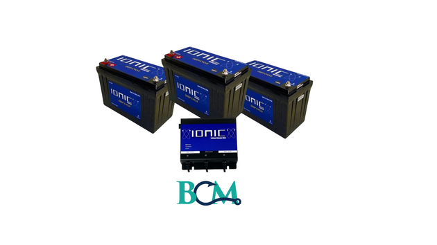
Vendor: Brushy Creek Marine
24V & 150Ah Ionic Lithium Boat Bundle
Sale price $2,097.00Regular price $2,366.00 -
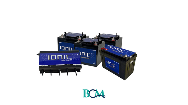
Vendor: Brushy Creek Marine
Ionic Lithium 36V Bass Boat Bundle - 3x 60Ah + 150Ah + 4-Bank Charger
Sale price $1,846.00Regular price $2,615.00 -

Vendor: Brushy Creek Marine
24V Ionic Lithium Battery Bundle
Regular price $967.00 -
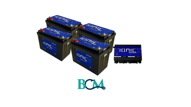
Vendor: Brushy Creek Marine
Advanced Angler Ionic Lithium 100 Ah & 150Ah Bundle
Regular price $2,746.00
-

Vendor: Garmin
Garmin Navionics+ NSUS006R U.S. South [010-C1290-20]
Regular price $149.99 -

Vendor: Garmin
Garmin Navionics+ NSUS013R Canada, West Alaska [010-C1485-20]
Regular price $149.99 -

Vendor: Garmin
Garmin Navionics+ NSUS008R U.S. West [010-C1292-20]
Regular price $149.99 -

Vendor: Garmin
Garmin Navionics+ NSUS007R U.S. East [010-C1291-20]
Regular price $149.99 -

Vendor: Garmin
Garmin Navionics+ NSUS001L US Coastal Canada [010-C1287-20]
Regular price $199.99 -

Vendor: Garmin
Garmin Navionics+ NSUS012R Canada, East Great Lakes [010-C1484-20]
Regular price $149.99 -

Vendor: Garmin
Garmin Navionics+ NSUS005R U.S. North Great Lakes [010-C1289-20]
Regular price $149.99


