
-
![Garmin Navionics+ NSSA010R Central America Caribbean [010-C1451-20] - Premium Garmin Navionics+ Foreign from Garmin - Just $149.99! Shop now at Brushy Creek Marine](//bcmarineproducts.com/cdn/shop/files/102666XL.jpg?v=1722932267&width=1096) files/102666XL.jpg
files/102666XL.jpg
![Garmin Navionics+ NSSA010R Central America Caribbean [010-C1451-20] - Premium Garmin Navionics+ Foreign from Garmin - Just $149.99! Shop now at Brushy Creek Marine](http://bcmarineproducts.com/cdn/shop/files/102666XL.jpg?v=1722932267&width=1096)
Navionics+™ NSSA010R Central America & Caribbean
Featuring vibrant colors, a streamlined interface, and combined coastal/inland content with a popular Navionics® style color palette, Garmin Navionics+ cartography makes it easy to plot courses with the world’s No. 1 name in marine mapping.
- microSD™/SD™ format
- Navigate with the best offshore and inland lake coverage for a Garmin chartplotter
- Customize the view with various chart layers and overlay combinations
- With the included one-year subscription, access daily updates via the ActiveCaptain® smart-device app
- Auto Guidance+™ technology2 lets users navigate with suggested dock-to-dock routings
- Select up to 10 color-shaded target depth ranges to scope out the best fishing spots
- Save money by renewing the subscription — and continue accessing daily updates plus new content downloads
Coverage
Detailed coverage of the west coast of Mexico from Tijuana to Panama. Including the Panama Canal in its entirety. East Coast coverage from Panama to Brownsville, TX. Also includes detailed Caribbean coverage of the Far Bahamas, Turks & Caicos, Cuba, Jamaica, the Caymans, Haiti, the Dominican Republic, Puerto Rico, and the Lesser Antilles to Grenada.
All-In-One Map Solution for Garmin Chartplotters
Access detail-rich mapping of coastal features, lakes, rivers, and more. Integrated Garmin and Navionics® content offers coverage for boaters worldwide.
Daily Chart Updates
Charts are constantly being enhanced with new and amended content — as many as 5,000 updates are made every day. The one-year subscription includes access to daily chart updates via the ActiveCaptain app.
Auto Guidance+ Technology
Combining the best of Garmin and Navionics automatic routing features, built-in Auto Guidance+ technology2 gives users a suggested dock-to-dock path to follow through channels, inlets, marina entrances, and more.
Depth Range Shading
High-resolution depth range shading lets users select up to 10 color-shaded options and view the designated target depths at a glance.
Up to 1’ Contours
For improved fishing and navigation, up to 1' contours provide a clear depiction of bottom structure for improved fishing charts and enhanced detail in swamps, canals, harbors, marinas, and more.
Shallow Water Shading
To give a clear picture of shallow waters to avoid, this feature allows for shading at a user-defined depth.
Raster Cartography
NOAA raster cartography3 is available for some U.S. waters as a free downloadable feature via the ActiveCaptain app to provide paper chart-like views on a plotter.
ActiveCaptain Community
Community-sourced content provides useful POIs, such as marinas, anchorages, hazards, businesses, and more. Get recommendations from boaters with firsthand experience of the local environment.
1Auto Guidance+ is for planning purposes only and does not replace safe navigation operations
2Raster cartography cannot be viewed on echoMAP™ CHIRP and ECHOMAP™ Plus combos but can be viewed on mobile devices via the ActiveCaptain mobile app
3Subscription required; a one-year subscription, which is included with the purchase of the Navionics Vision+ mapping solution, lets users access daily chart updates and download additional content or premium features included with the cartography product
- Regular price
- $149.99
![Garmin Navionics+ NSSA010R Central America Caribbean [010-C1451-20] - Premium Garmin Navionics+ Foreign from Garmin - Just $149.99! Shop now at Brushy Creek Marine](http://bcmarineproducts.com/cdn/shop/files/102666XL.jpg?v=1722932267&width=1000)
Frequently Bought Together
-

Vendor: Ionic Lithium
Ionic Lithium Battery - 12v 60Ah - Deep Cycle
Sale price $299.00Regular price $449.00 -
Vendor: Brushy Creek Marine
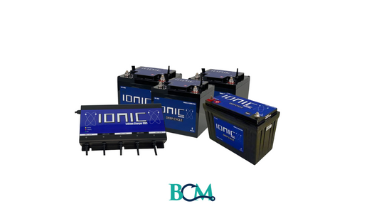
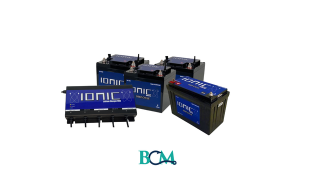
36V 60AH and 150Ah Ionic Lithium Bundle
Sale price $2,050.00Regular price $2,415.00 -

Vendor: Brushy Creek Marine
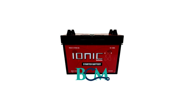
Ionic Lithium 12V Group 31 | 3000 CA | LiFePO4 Heavy Duty Diesel Starter Battery + Heater
Sale price $939.00Regular price $1,199.00 -

Vendor: Brushy Creek Marine
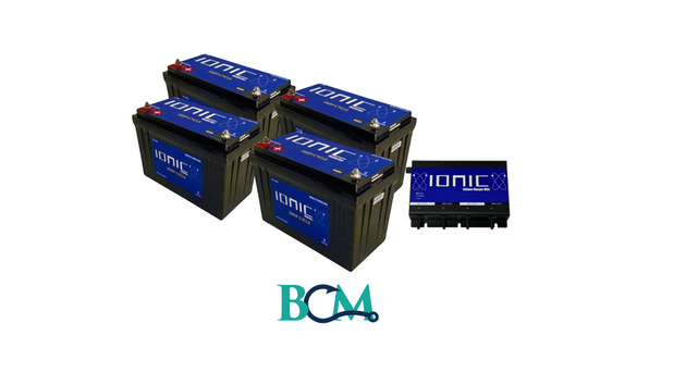
Advanced Angler Ionic Lithium 100 Ah & 150Ah Bundle
Regular price $2,665.00


Product Description
Navionics+™ NSSA010R Central America & Caribbean
Featuring vibrant colors, a streamlined interface, and combined coastal/inland content with a popular Navionics® style color palette, Garmin Navionics+ cartography makes it easy to plot courses with the world’s No. 1 name in marine mapping.
- microSD™/SD™ format
- Navigate with the best offshore and inland lake coverage for a Garmin chartplotter
- Customize the view with various chart layers and overlay combinations
- With the included one-year subscription, access daily updates via the ActiveCaptain® smart-device app
- Auto Guidance+™ technology2 lets users navigate with suggested dock-to-dock routings
- Select up to 10 color-shaded target depth ranges to scope out the best fishing spots
- Save money by renewing the subscription — and continue accessing daily updates plus new content downloads
Coverage
Detailed coverage of the west coast of Mexico from Tijuana to Panama. Including the Panama Canal in its entirety. East Coast coverage from Panama to Brownsville, TX. Also includes detailed Caribbean coverage of the Far Bahamas, Turks & Caicos, Cuba, Jamaica, the Caymans, Haiti, the Dominican Republic, Puerto Rico, and the Lesser Antilles to Grenada.
All-In-One Map Solution for Garmin Chartplotters
Access detail-rich mapping of coastal features, lakes, rivers, and more. Integrated Garmin and Navionics® content offers coverage for boaters worldwide.
Daily Chart Updates
Charts are constantly being enhanced with new and amended content — as many as 5,000 updates are made every day. The one-year subscription includes access to daily chart updates via the ActiveCaptain app.
Auto Guidance+ Technology
Combining the best of Garmin and Navionics automatic routing features, built-in Auto Guidance+ technology2 gives users a suggested dock-to-dock path to follow through channels, inlets, marina entrances, and more.
Depth Range Shading
High-resolution depth range shading lets users select up to 10 color-shaded options and view the designated target depths at a glance.
Up to 1’ Contours
For improved fishing and navigation, up to 1' contours provide a clear depiction of bottom structure for improved fishing charts and enhanced detail in swamps, canals, harbors, marinas, and more.
Shallow Water Shading
To give a clear picture of shallow waters to avoid, this feature allows for shading at a user-defined depth.
Raster Cartography
NOAA raster cartography3 is available for some U.S. waters as a free downloadable feature via the ActiveCaptain app to provide paper chart-like views on a plotter.
ActiveCaptain Community
Community-sourced content provides useful POIs, such as marinas, anchorages, hazards, businesses, and more. Get recommendations from boaters with firsthand experience of the local environment.
1Auto Guidance+ is for planning purposes only and does not replace safe navigation operations
2Raster cartography cannot be viewed on echoMAP™ CHIRP and ECHOMAP™ Plus combos but can be viewed on mobile devices via the ActiveCaptain mobile app
3Subscription required; a one-year subscription, which is included with the purchase of the Navionics Vision+ mapping solution, lets users access daily chart updates and download additional content or premium features included with the cartography product
Customer Reviews
Similar Products
-

Vendor: Ionic Lithium
Ionic Lithium Battery - 12v 60Ah - Deep Cycle
Sale price $299.00Regular price $449.00 -
Vendor: Brushy Creek Marine
36V 60AH and 150Ah Ionic Lithium Bundle
Sale price $2,050.00Regular price $2,415.00 -
Vendor: Brushy Creek Marine
Ionic Lithium 12V Group 31 | 3000 CA | LiFePO4 Heavy Duty Diesel Starter Battery + Heater
Sale price $939.00Regular price $1,199.00 -
Vendor: Brushy Creek Marine
Advanced Angler Ionic Lithium 100 Ah & 150Ah Bundle
Regular price $2,665.00


